Site Investigation, including Drone Deployment, for Property Redevelopment
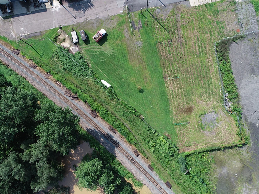
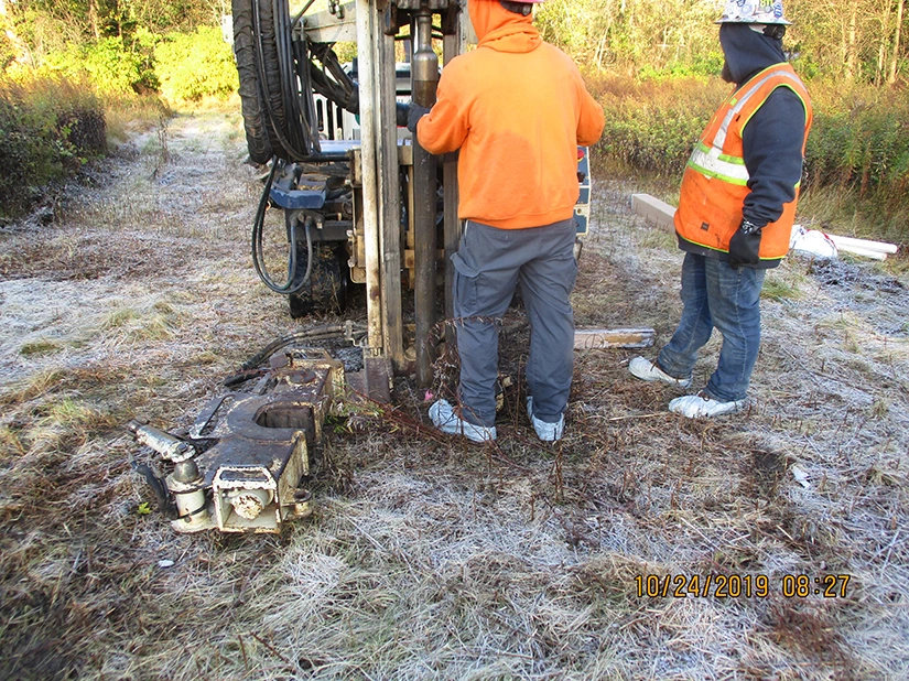
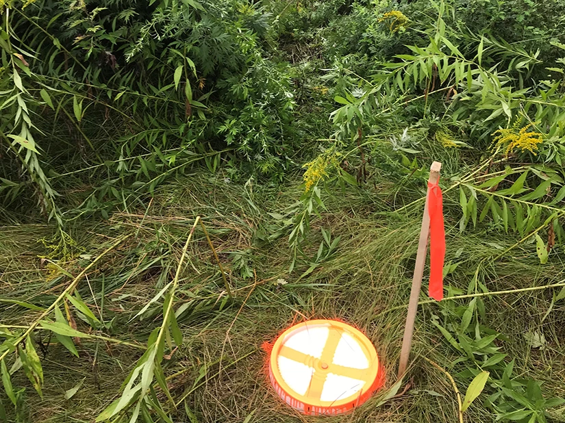
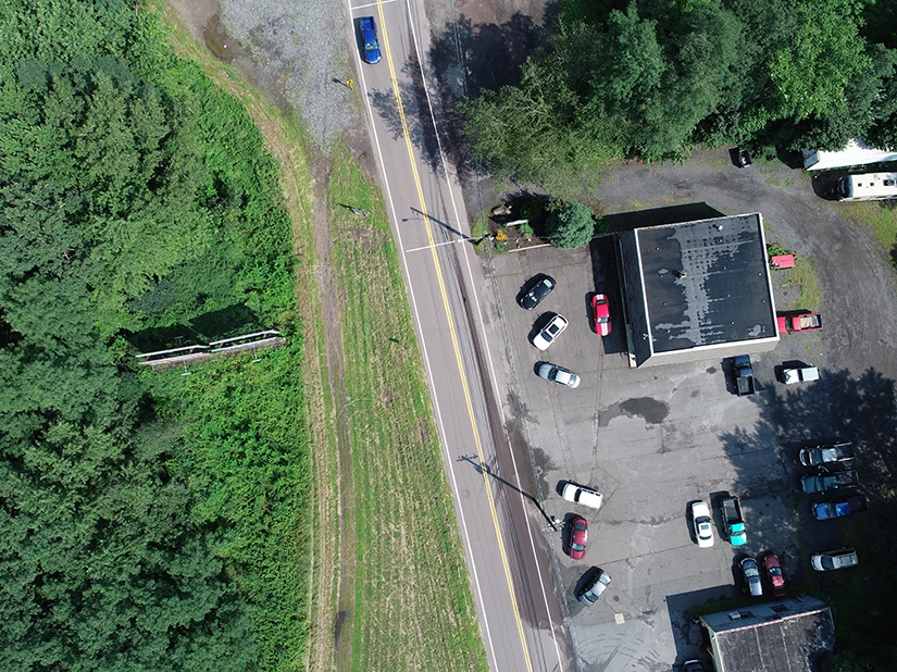
GES was contracted by the Pennsylvania Department of Environmental Protection (PADEP) to conduct a comprehensive site investigation to prepare a former landfill and scrap yard for reuse as a public park. The project's scope included using an unmanned aircraft system (drone) for aerial mapping and site feature identification, establishing ground control points with a licensed surveyor, and collecting and screening soil samples from 275 locations for laboratory analysis. Additionally, GES was responsible for installing monitoring wells and conducting groundwater monitoring. This phased approach allowed GES to develop a conceptual site model that assisted the PADEP in understanding the full extent of the site's contamination, thereby facilitating the development of a cost-effective remediation plan.


